Today we are visiting the Mansfield Dam, which is close to the neighborhood. Mansfield Dam is 278 feet (85 m) high, 7,089 feet (2 km) long, and 213 feet (65 m) thick at the base. The concrete gravity dam was designed to control flooding. Built on the Colorado River by the Lower Colorado River Authority it stores 369 billion US gallons of water and generates 108 megawatts of power. The lake formed by the dam is Lake Travis. The Spillway Elevation is 714 feet above sea level. LCRA begins to open floods gates when water reaches 681 feet above sea level. At 681 feet above MSL, discharge capacity exceeds 130,000 cubic feet per second as the lake rises. Construction was begun in 1937 and completed in 1941. It is named after Joseph Mansfield who was in the house of Representatives for thirty years and chaired the Rivers Committee.
I hope you like the tour.
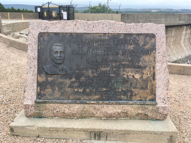
A monument to Joseph Mansfield.
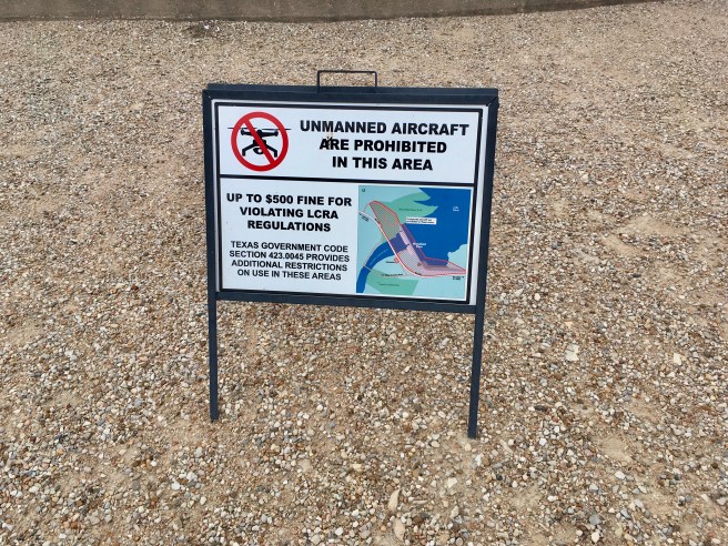
I had not thought of bringing my drone, but it would have been in vain had I thought of it.
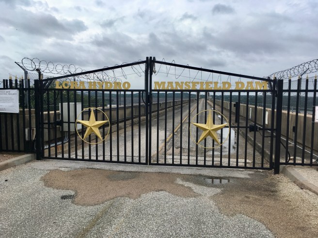
There was a highway that went across the top of the dam. Traffic got too heavy for these two lanes, so another bridge was built.
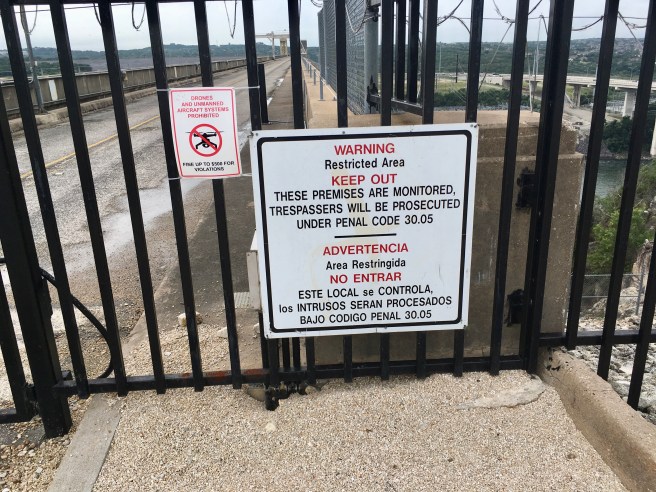
I would have loved to get a shot up and down the river, but no trespassing.
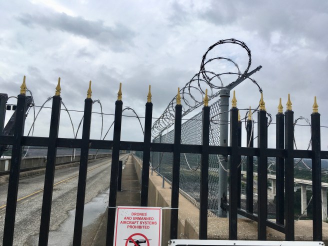
Razor wire and I don’t get along so I’ll heed the sign.
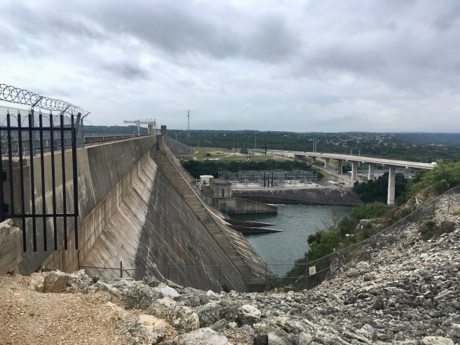
A shot of the dam, river, and highway bridge.
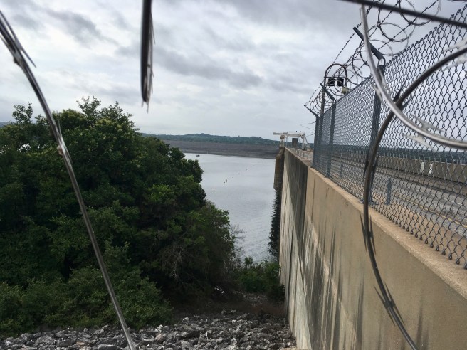
A little bit of a view of Lake Travis formed by the dam.
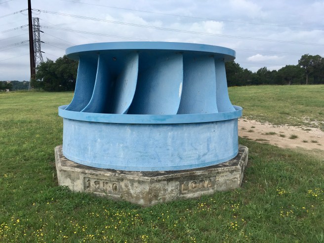
A turbine fan on display. It stands about eight feet tall.
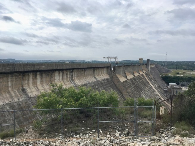
A different view of the dam to give you an idea of the expanse.
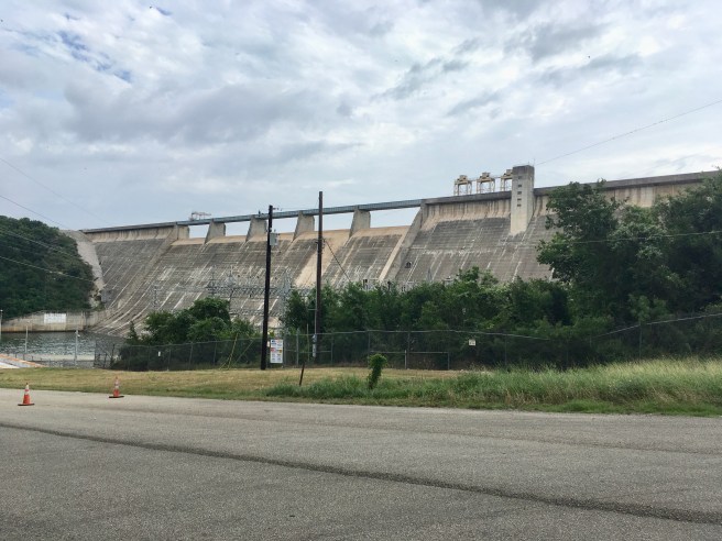
This is a shot from a road that runs below the Dam. This was as close as I could get.
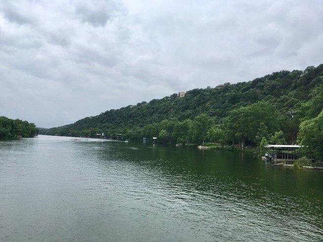
Here is what the Colorado River looks like downstream from the dam. The water flows out of one spillway and continues down the river. On the banks is a residential area with water access points. That is a group of kayakers in the background.
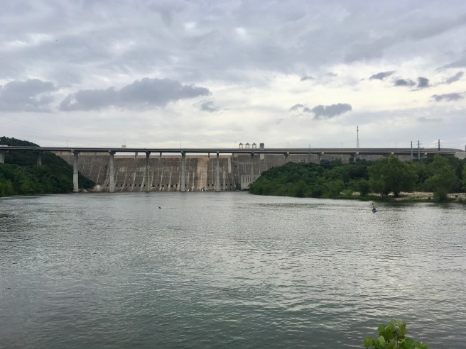
The river, dam, duck, man, and his dog
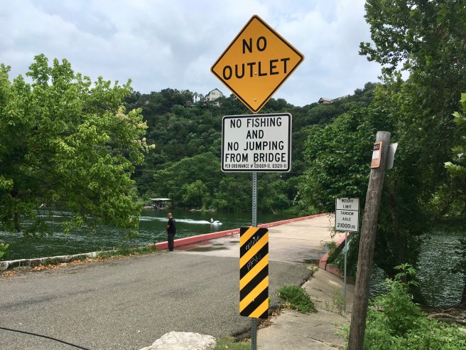
I took this shot since it seemed odd to me that that guy had not jumped from the bridge. If you are going to violate one rule, why not break them all?
Thank you for coming along.